High Resolution Aerial Imagery with Near InfraRed (NIR) for Government
Data insights to help you plan, manage, and mitigate risk
What is Near Infrared (NIR) Four-Band Imagery?

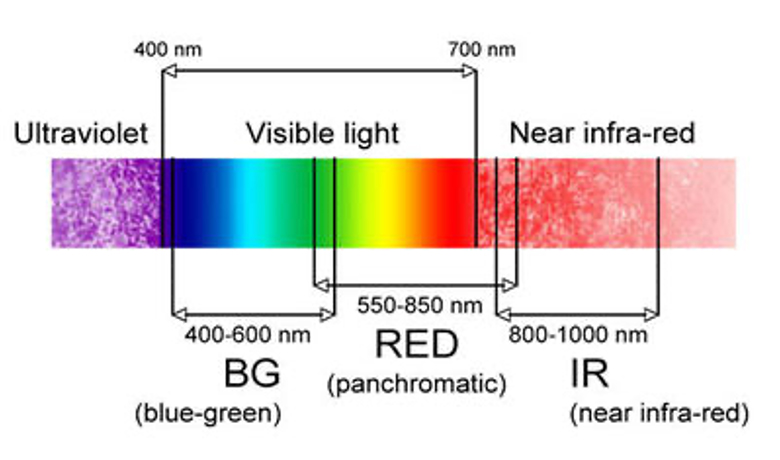
The human eye can only see visible light in the electromagnetic spectrum. However, there are ways for humans to visualize what we can’t physically see.
For over 10 years, EagleView has been using multispectral cameras to capture Near Infrared (NIR) frequencies, which provides additional data insights within orthogonal imagery. This data supports GIS, agricultural, and public works teams.
Why Near Infrared (NIR)
Monitor
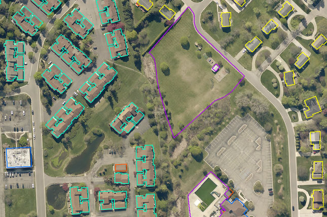
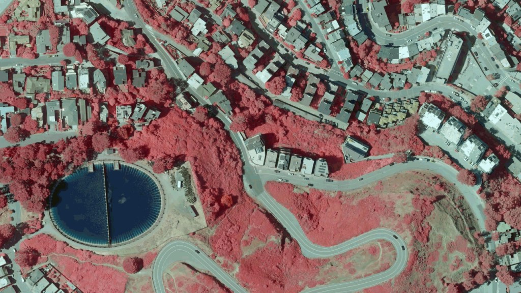
- Identify vegetation locations and conditions
- Distinguish impervious surfaces
- Classify land and land usage
- Delineate wetland areas
Mitigate Risk
- Isolate wildfire risk by identifying stressed and dying vegetation
- Identify potential leaks in underground assets
- Calculate stormwater runoff
- Improve water quality and water management practices
Work Efficiently
- Reduce or eliminate field visits
- Eliminate the need for manual classifications
- Receive imagery faster and multiple times per year
- And more!
Additional Features for Orthomosaic Imagery

Certified Ortho
Upgrades to an authoritative orthomosaic produced in accordance with state and local requirements

TrueTouch
Applies visual enhancements to critical features in orthomosaic imagery

Product Specifications
- Available as an optional add on feature for Reveal Imagery products, included with the purchase of Reveal Advanced
- Offered in varying ground sample distances at Property, Neighborhood, and Community resolutions with accompanying mosaic tiles and area-wide mosaics
- Deliverables available with 4 bands of data (Red, Green, Blue, and Near Infrared) in addition to standard RGB and False Color IR (CIR)
