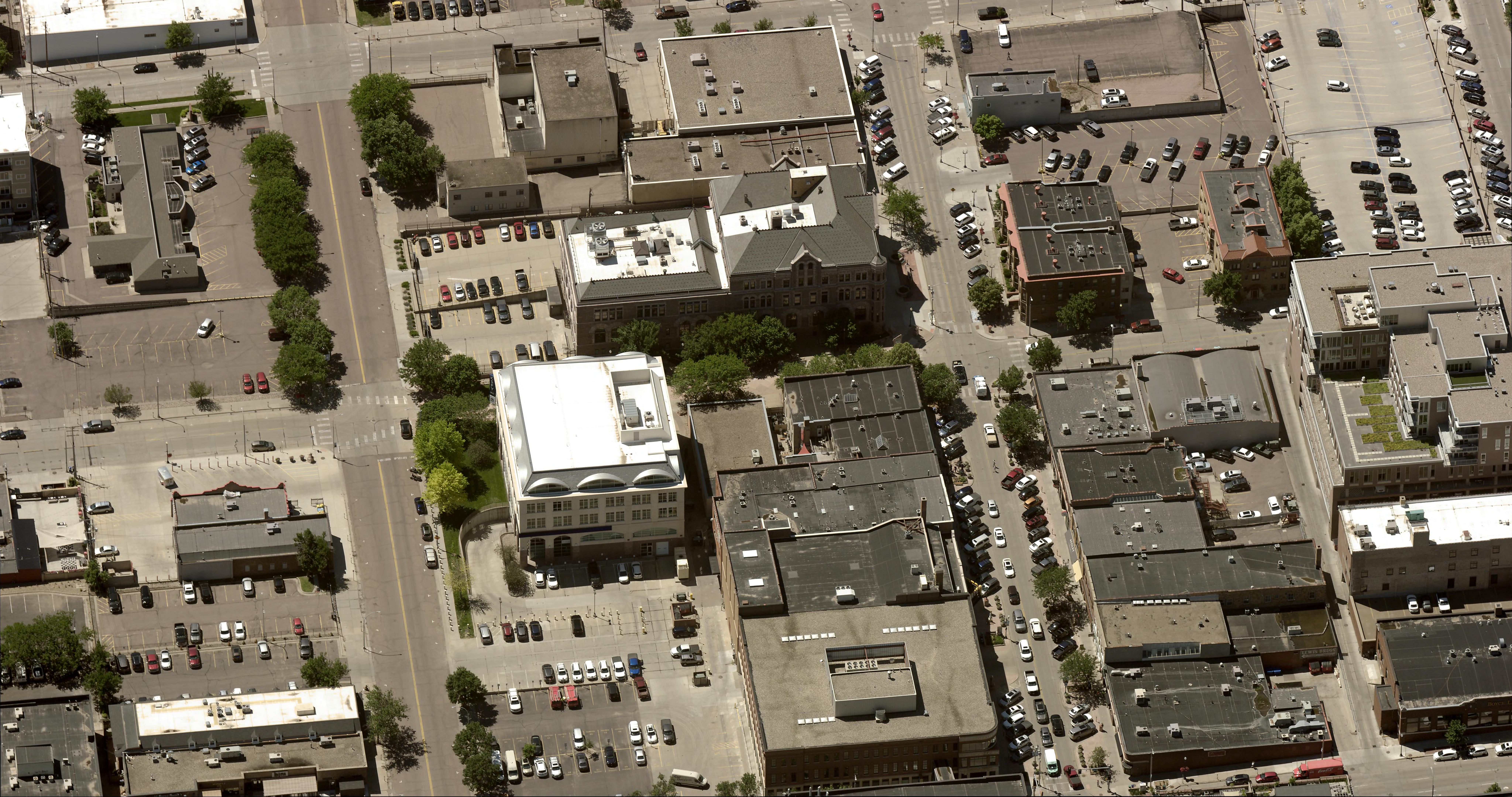
Why GIS Teams Should Consider 1-Inch Aerial Imagery

Geographic Information System (GIS) professionals provide essential spatial data to support a range of local government departments, helping them plan, design, and make informed decisions about community development. As urban areas grow and jurisdictions become more complex, GIS teams face the challenge of delivering increasingly accurate data and precise mapping to support departments such as urban planning, public works, and conservation.
The key to achieving this level of precision lies in high-resolution aerial imagery, with 1-inch Ground Sample Distance (GSD) imagery now setting the standard. Compared to the more common 3-inch imagery, 1-inch GSD offers GIS professionals the clarity and detail needed to improve accuracy and efficiency across operations. This translates into better data for decision-making, while also reducing costs by limiting the need for fieldwork.
In this post, we explore specific use cases where 1-inch aerial imagery enhances GIS operations, enabling local governments to streamline processes and improve outcomes.
Why Does Resolution Matter for GIS?
For GIS professionals, resolution is more than just image clarity; it’s about providing the data necessary to make precise, informed decisions. High-resolution imagery, such as 1-inch GSD, allows GIS teams to collect and analyze data directly from their desktops, minimizing the need for field visits and reducing the risk of errors in planning and design.
For instance, while 3-inch GSD imagery might allow you to locate a manhole, 1-inch GSD imagery provides enough detail to identify the type of manhole and the materials of the surrounding infrastructure. This level of detail improves the accuracy of GIS analyses and supports better decision-making across local government departments. The benefits of 1-inch GSD imagery for GIS include:
- Greater image clarity for creating detailed maps that serve multiple applications, from zoning to infrastructure planning.
- Increased efficiency, enabling professionals across departments to perform remote assessments and design work without requiring field inspections.
- Enhanced decision-making, as 1-inch imagery provides the precision needed to inform long-term planning and ensure community needs are met.
Real-World Use Cases: How GIS Teams Leverage 1-Inch Imagery
Here are four key areas where GIS teams can apply 1-inch aerial imagery to improve accuracy, efficiency, and outcomes.
Urban Planning
GIS teams can use 1-inch imagery to provide urban planners with the detailed data necessary for zoning, resource allocation, and infrastructure development. Ultra-high-resolution oblique imagery allows planners to build accurate models and scenarios for future developments without needing to conduct field measurements.
For example, in Omaha, 1-inch imagery was used to plan sidewalks and bike paths, reducing the need for on-site surveys. Planners were able to assess space availability directly from the imagery, allowing them to make informed decisions without sending engineers into the field.
Public Works
For public works departments, 1-inch oblique imagery offers the level of detail needed to inspect infrastructure assets remotely. GIS teams can deliver high-resolution images that reveal minute details, such as whether a manhole is maintained by the city or a utility. This granular data helps public works teams make maintenance decisions without conducting physical inspections. In addition, the clarity of 1-inch imagery allows teams to assess materials like pipes connected to manholes—information that cannot be captured using 3-inch imagery.
Environmental Monitoring and Conservation
Monitoring environmental changes over large areas requires both broad and detailed data. GIS teams can leverage 1-inch imagery to detect and track subtle changes in landscapes, such as coastline erosion or invasive plant species. High-resolution imagery enables teams to pinpoint the sources of environmental change and map affected areas, allowing government departments to respond more effectively.
For example, if GIS data reveals coastal erosion, the additional clarity provided by 1-inch imagery can help teams identify invasive plants contributing to the problem. This data can then be used to inform conservation efforts and protect valuable natural resources.
Transportation and Infrastructure Management
As the U.S. continues to invest in infrastructure through programs like the Infrastructure Investment and Jobs Act (IIJA) and the Inflation Reduction Act (IRA), GIS professionals play a critical role in ensuring that funds are used effectively. 1-inch aerial imagery allows GIS teams to inspect and manage transportation networks and infrastructure with unparalleled detail.
By mapping assets such as bridges, roads, and traffic signage at a high resolution, GIS teams can provide accurate data on the condition of these assets, helping planners prioritize repairs and upgrades. This level of detail also supports safety inspections, route planning, and accident hotspot analysis, all while reducing the need for in-person site visits.
Why GIS Teams Choose EagleView
EagleView is the only provider offering 1-inch oblique aerial imagery, delivering the highest resolution available to local governments. GIS teams that utilize EagleView’s 1-inch imagery gain a powerful tool for improving efficiency, reducing costs, and supporting better decision-making across departments.
Mike Schonlau, GIS Administrator for Douglas County, Nebraska, shared his experience with EagleView’s 1-inch imagery in a recent webinar, highlighting how it helped the county save money, increase productivity, and realize a clear return on investment.
