Disaster Response for Government
Improve disaster response and recovery with EagleView’s aerial imagery
Our Disaster Response Program
Helps Communities Respond and Recover
After a severe weather event or disaster, governments face complex challenges. Safety is a priority as first responders survey the area and deploy search and rescue missions. Governments also need to assess and quantify the damage and restore critical services.
We fly over affected areas to capture images from the air immediately following severe events. Our aerial imagery provides governments information, data and insights to make critical and life-saving decisions.
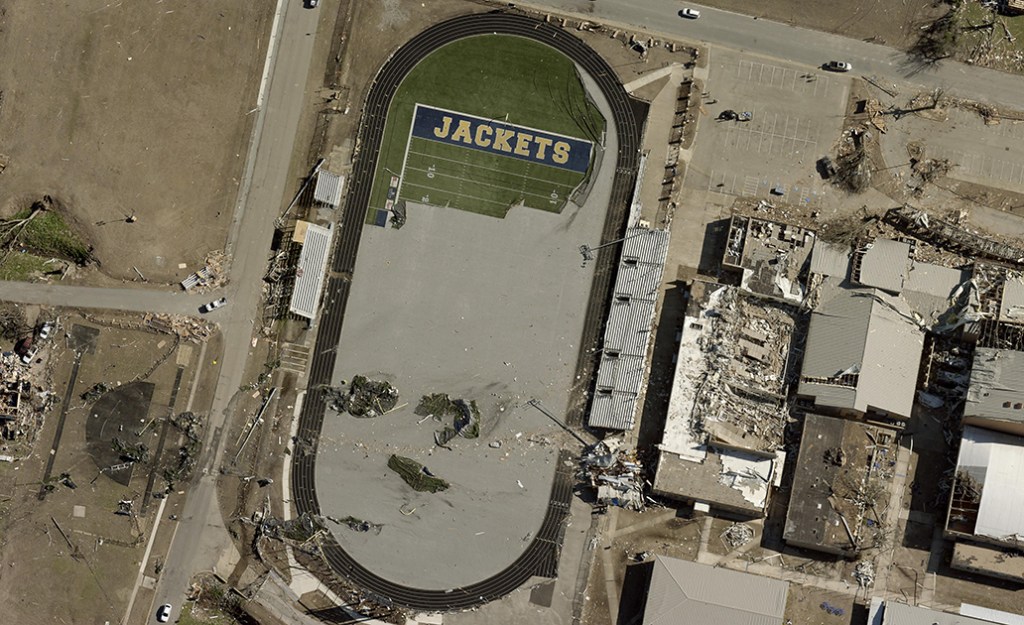
Governments Trust EagleView
for Disaster Response Imagery

Providing Disaster Imagery and Helping Communities For Over Two Decades
Customers that join our Disaster Response Program have peace of mind knowing that EagleView will take to the air when a disaster event reaches a certain severity.
For two decades, we have captured imagery after the most severe weather events in the United States. No matter the event, our goal is always the same: to be in the air quickly and capture images which support the first responders, planners, and recovery efforts on the ground.
How Aerial Imagery Helps After Disaster Events
Aerial imagery is a valuable tool to help communities respond, recover, and create a path forward.
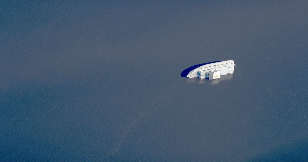
Disaster Response
Imagery can be used to safely evaluate damage and provide helpful information to first responders.
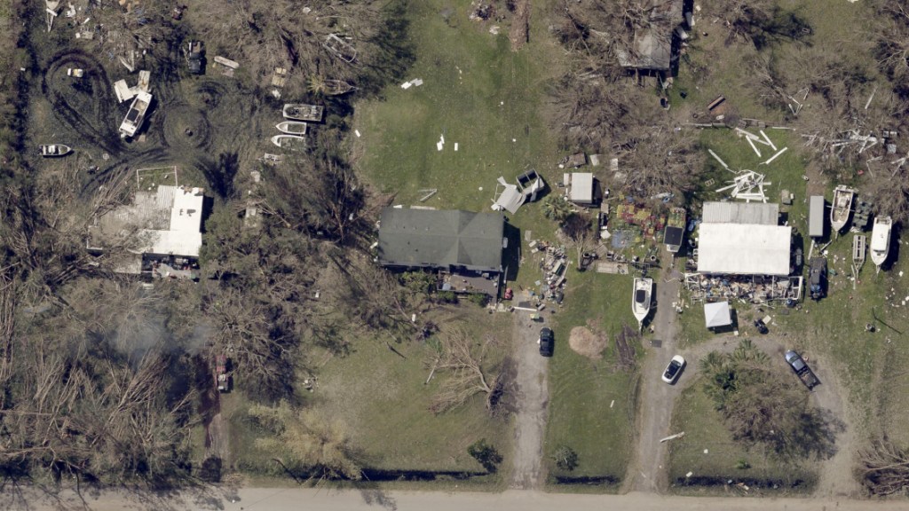
Disaster Recovery
Restoring services, removing debris and rebuilding are easier with an aerial view of the damage.
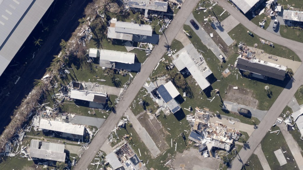
Property Assessment
Property assessors use aerial imagery to safely re-assess damaged properties and calculate lost tax revenue, which helps governments apply for state and federal funding.

Communication with Residents
Aerial imagery helps governments keep residents informed. For example, sharing post-disaster aerial imagery on a website can help evacuated homeowners see damage to their homes.
Disaster Response Case Studies
Our Customers Are Grateful for Our Partnership
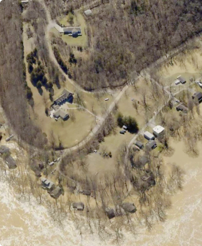
Delivering Post-Flood Imagery
to Assist with Damage Assessment
Woodford County, Kentucky
When the Kentucky River overflowed, Woodford County turned to EagleView for help.
Within a few days, EagleView captured aerial imagery of the flooded and damaged areas. Using the images, Woodford County conducted a damage assessment and created response plans before many areas were safely accessible.
Without aerial imagery, assessing damage would have been more difficult for the county.
